

Severe Weather Outlook For April 30th 2012
First things first lets look at the surface map and as you can see the front that was stationary has indeed lifted north as we mentioned that it would..http://www.hpc.ncep.noaa.gov/sfc/90fwbg.gif
Once again this front has become quasi stationary...
And as you can see there is waves of low pressure along the front as well..
Low pressure will be located over western Illinois in about another hour.. This low will move east while pushing a warm front into the NE. This warm front will serve as a focal point for convective rains and the potential for severe weather into the PA and Ohio region and the stationary front will once again serve as a focal point for severe across the rest of the region..
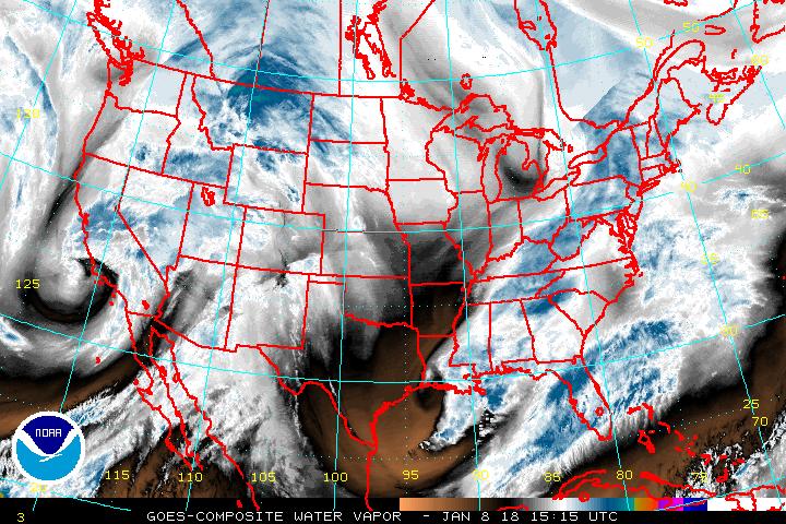
http://www.ssd.noaa.gov/goes/comp/ceus/wv-l.jpg
As you can see by water vapor we do not have as much dry air in place as what we had previously ...
http://www.ssd.noaa.gov/goes/comp/ceus/flash-wv.html
Putting this in motion you can see how the atmosphere is becoming more moist by looking at the enhanced water vapor image and the orange colors. For those in TX notice that most of this is occurring to the north..
Since we base these forecasts on the parameters we like to look at the time period around when the heat of the day is at its best so when we do that we are looking at the CAPE here for 24 hrs. from 7 PM (Sunday evening)
http://www.twisterdata.com/data/models/nam/221/maps/2012/04/30/00/NAM_221_2012043000_F24_CAPE_SURFACE.png
CAPE ranges anywhere from about 500 to about 3000 depending where you are..
http://www.twisterdata.com/data/models/nam/221/maps/2012/04/30/00/NAM_221_2012043000_F24_PLI_30_0_MB_ABOVE_GROUND.png
Lift index goes to about - 8 again depending on where you are located...
http://www.twisterdata.com/data/models/nam/221/maps/2012/04/30/00/NAM_221_2012043000_F24_SHRM_500_MB.png
Shear is about 30 knots to as much as 60 knots..
HELICITY
http://www.twisterdata.com/data/models/nam/221/maps/2012/04/30/00/NAM_221_2012043000_F24_HLCY_1000_M_ABOVE_GROUND_0_M_ABOVE_GROUND.png
About 50-250 and under....
Remember with Helicity this information:
*150-300 Possible Super cell
*300 to 400 Super cell Severe Favorable
*400+ Tornadic Thunderstorms Favorable
So essentially the Helicity is suggesting that some locations in PA could have super cells.
EHI
http://www.twisterdata.com/data/models/nam/221/maps/2012/04/30/00/NAM_221_2012043000_F24_EHI_1000_M.png
You can see that most areas for EHI are below the threshold of 1 with the exception of SW PA .. and in NW TX...
Keep this in mind for EHI
*Interpretation of values:
*Greater than 1: Super cells likely
*1 to 5: Possibility of F2, F3 tornadoes
*5+: Possibility of F4, F5 tornadoes
So this suggests that SW PA could see super cell severe thunderstorms. It also suggests where the EHI is 2.25 that their could be some tornado's which is in NW TX to the south of the OK/TX panhandle..
Dew points are in the 60s
http://www.twisterdata.com/data/models/nam/221/maps/2012/04/30/00/NAM_221_2012043000_F24_DPTF_2_M_ABOVE_GROUND.png
Temperatures 70- 90 +
http://www.twisterdata.com/data/models/nam/221/maps/2012/04/30/00/NAM_221_2012043000_F24_TMPF_2_M_ABOVE_GROUND.png
The main threats outside of the areas mentioned above will be Large hail and wind..
It is indeed possible that locations such as TX outside of the area mentioned above stay on the southern side of any activity. Looking at water vapor
http://www.ssd.noaa.gov/goes/comp/ceus/flash-wv.html
Again does show the dry air trying to come back into the atmosphere.. Essentially we are not expecting any thing more then isolated tornado chances in the area mentioned around the 2.25 region for EHI ...and because we are essentially dealing with more in the way of a warm front and a stationary front...
No comments:
Post a Comment